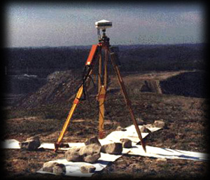
Survey Crew
All the aerial mapping projects proposed by Tuck Engineering have had ground control layouts prepared. Global Positioning Systems (GPS) are used to acquire the necessary ground control for the digital orthos. Tuck field survey crews fill in areas that cannot be seen from the air such as dense brush or conifer tree canopies. The information is downloaded and merged with the digital data from the stereo plotters into one digital terrain model (DTM) file for combined contour generation.